Castle Dale, Utah
Castle Dale One Place Study
A One Place Study takes a single community and follows it closely over time — the people, the households, the records that survive. The Castle Dale One Place Study collects articles that reconstruct the town from its primary sources: federal census schedules, land and water records, church and county minutes, and the families who carried it from a one-year-old settlement of fifty houses into the seat of Emery County. New pieces are published here as they are written.
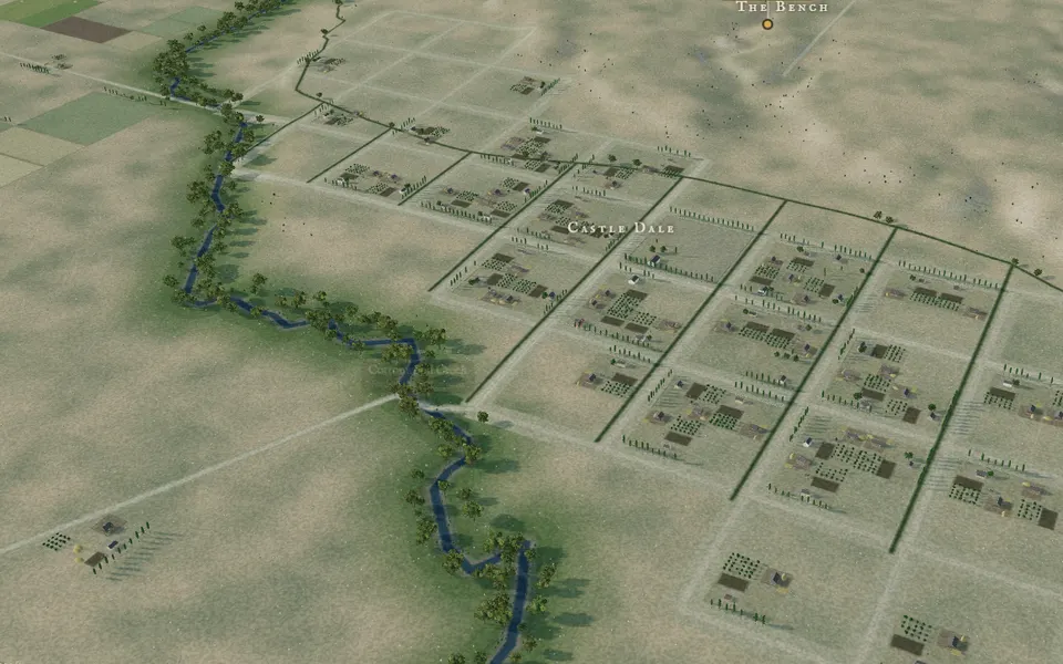 Interactive maps · 4 plates Castle Dale, 1890: Four Reconstructions Walk the townsite as it may have looked ten years after it was surveyed — four rotatable 3-D models, two photographic and two simulation-style, built from the 1880 plat, the 1917 Sanborn map, and later surveys. View the four plates